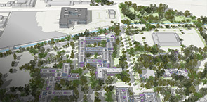
Esri is the largest location intelligence and mapping company in the world. Esri's ArcGIS platform offers a range of tools and applications for providing geographic context to BIM data. From desktop software to online applications and mobile apps, ArcGIS can be integrated into all phases of the BIM life cycle. With Esri technology, architects, city planners, builders and civil engineers can collaborate more effectively, gaining full understanding of a project’s impact, and leading to better design and cost saving. Combining geographic information system (GIS) technology and BIM allows you to design resilient, sustainable environments that help you not only adapt to the future but thrive.
WATCH- THE SCIENCE OF WHERE
Resource Center

Digitize & modernize Project Delivery via innovative GIS solutions from Esri

Enabling Facility Operations & Maintenance

The Millennium House BIM Life-cycle

Transforming Planning, Engineering and Operations with Geospatial Context