PROGRAM
Plenary (Hall - Diamond)

Ananya Narain
VP - Commercial Consulting | Geospatial World | India
The convergence of geospatial and BIM technologies has revolutionized the way we approach the design, construction, and management of the built environment. By integrating geospatial data with BIM, we can create highly accurate and detailed digital representations of buildings and their surrounding environments. The combination of geospatial and BIM data also enables stakeholders to collaborate more effectively and make more informed decisions, resulting in a more efficient and sustainable built environment.
Pieter van Teeffelen
Director | digiGO | The Netherlands
Marek Suchocki
Head of Industry Associations Strategy | Autodesk | UK
Roeland Allewijn
Chief Data Officer | Ministry of Water and Infrastructure (Rijkswaterstaat) | The Netherlands

Amr Raafat
Chief Innovation Officer | Windover Construction | USA

Marc Goldman
Director - AEC Industry Solutions | Esri | USA
As the world becomes more digitally connected, the use of digital twins and the metaverse will become increasingly vital in bridging the physical and digital divide in infrastructure workflow. Together, these technologies enable us to simulate, monitor, and manage physical assets in real-time, enhancing our ability to optimize their performance and increase their lifespan. By using digital twins and the metaverse, stakeholders can collaborate more efficiently, track asset performance, and identify potential issues before they arise.
Jugal Makwana
Global Director - Digital Engineering | Royal HaskoningDHV | The Netherlands

Kimberly Slaughter
CEO | Systra USA | USA

Clive Billiald
Chief Executive | buildingSMART International | UK

Igor Starkov
VP, Digital Twin | Siemens Industry, Inc. | USA

Carlo Ruiz
Senior Director AI Solutions - EMEA | NViDIA | The Netherlands
Development of robust telecommunications networks, cloud computing, big data analytics, and the Internet of Things (IoT) capabilities allows cities to collect and analyze vast amounts of data from sensors, cameras, and other devices. This helps in optimizing traffic flows, reduce energy consumption, and improve public safety. With a strong and secured digital infrastructure, cities can create a foundation for truly smart governance that improve quality of life for citizens, while also reducing environmental impact and increasing economic efficiency.

Nelson Ogunshakin
CEO | International Federation of Consulting Engineers | Switzerland
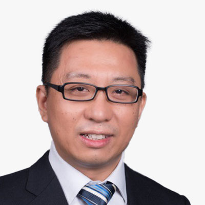
Loh Teck Hee
Group Director - Design and Planning Lab | Urban Redevelopment Authority | Singapore

Andres Maremae
Head of GIS, Strategic Management Office | City of Tallinn | Estonia

Roland van der Heijden
Program manager - Digital City Rotterdam | Municipality of Rotterdam | The Netherlands
Digital Transformation of the built Environment (Hall - Diamond I)
Sustainability is a vital consideration in building and infrastructure design, construction, and operation. The built environment has a significant impact on the natural environment, human health, and social equity. Therefore, it is essential to create sustainable buildings and infrastructure that meet the needs of the present without compromising the ability of future generations to meet their own needs.

Ignasi Perez Arnal
CEO | BIM Academy | Spain

Simone De Gale
CEO | Simone de Gale Architects | UK

Jeroen Tishauser
Information Manager and Product Owner | VolkerWessels Infrastructure | The Netherlands

Gary Cowan
Head of Digital Construction/VDC | Kane Group | Northern Ireland

Everywhere, cities are experimenting with digitizing their processes for building permits and the registration of buildings, requiring the integration of BIM, geo-information and legislation. Marloes and Rolf share their experiences from The Hague and Rotterdam, as well as the many challenges they had to deal with. With Francesca pitching in from the European CHEK program, we put the results in a broader perspective.

Martyn Carlier
Program Manager | digiGO | The Netherlands

Rolf Jonker
Project Leader BIM & Civil Engineering | Municipality of Rotterdam | The Netherlands

Marloes Graaumans
Geo Information Specialist | Municipality of The Hague | The Netherlands

Francesca Noardo
Innovation Project Manager | Open Geospatial Consortium | Belgium
The construction industry has seen a significant shift in recent years, from traditional 3D design models to digital twins, and now, towards the concept of the metaverse. This transformation is fundamentally changing the way construction projects are approached, designed, and executed. The next evolution in this space is the metaverse, a shared virtual space where people can interact with each other and digital objects in a seemingly real-world environment. In the construction industry, this allows construction teams to collaborate and communicate in new ways, and provides an immersive platform to showcase designs to stakeholders.
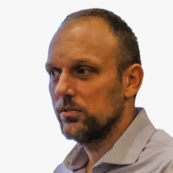
Eduard Loscos
President | Building Digital Twin Association | Spain

Alfonso Perna
International Product Engineering | ACCA Software | Italy

Andreas Gerster
VP, SW Technology | Hexagon Geosystems | Germany

Jan Grobler
Business Development Manager - Building Construction | Topcon Positioning Netherlands
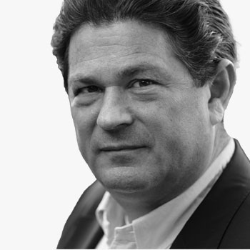
Nikolaus Studnicka
Terrestrial Laser Scanning Business Division Manager | RIEGL Laser Measurement Systems GmbH | Austria

Ellen Klingelhoeffer
Technical Sales Engineer | Trimble | Germany

Asmaa Abouleish
BIM Manager | EGIS Group | Saudi Arabia
Digital Cities: A Holistic Approach to Urban Transformation (Hall - Diamond II)
Digital twin technology has emerged as a powerful tool for digital city planning, enabling city planners and policymakers to simulate and visualize urban environments, test different scenarios, and make informed decisions. Best practices for implementing digital twins in city planning include developing a clear strategy, building partnerships with key stakeholders, using open data standards, and focusing on user engagement and collaboration. By adopting these best practices, city planners can create a digital twin that is useful, accessible, and relevant to all stakeholders involved in urban development.
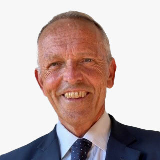
Alessandro Annoni
Advisor - Digital Twin and Metaverse | Geospatial World | Italy

Claudius Lieven
Head of Stadtwerkstatt | Hamburg Department of Urban Development and Housing | Germany

Anthony Tuffour
Director - GIS and Digital Twins | BuroHappold Engineering | UK

Carsten Ronsdorf
Strategic Propositions Manager | Ordnance Survey | UK
Frederic Jacon
Branch Manager | Camptocamp | France
Geotech, or geospatial technology, is a critical tool in achieving these goals as it provides real-time data on traffic patterns, transportation infrastructure, and population demographics, which can help identify and address issues affecting urban mobility. While ITS includes technologies such as traffic cameras, sensors, and GPS that enable real-time monitoring of traffic flow and congestion. Geotech can also be used to create better pedestrian and cycling infrastructure, including sidewalks, bike lanes, and trails. Additionally, Geotech can help in designing accessible public transportation systems, making it easier for people with disabilities to navigate public transit. Real-time data on traffic accidents and fatalities can help identify high-risk areas and enable targeted interventions to improve safety and is thus an essential tool in improving mobility, accessibility, and safety in cities.

Sri Krishna Hari
Head of GIS / Staff Engineer | Beans.ai | USA

Shravan Shah
Director | TM Systems BV | Netherlands
Ramesh Kajrolkar
Head of Operations | Tech Mahindra | India

Harry Atkinson
Co-Founder and Chief Data Officer | Sensat | UK
Digital Transformation of the built Environment (Hall - Diamond I)

Francois Robida
President | MINnD | France
Christophe Castaing
Former Director, Digital Engineering Program | Egis group | France
Vincent Keller
Head, Digital Engineering | Egis Rail | France


Aidan Mercer
Marketing Director | buildingSMART International Ltd | United Kingdom

Arisca Droog
Data Engineer, ASM / Digital, Data & Analytics / Team Information Management Services | Amsterdam Airport Schiphol | The Netherlands

Rob Roef
Senior Business Developer | TNO | The Netherlands

Marc Goldman
Director - AEC Industry Solutions | Esri | USA

Jugal Makwana
Global Director - Digital Engineering | Royal HaskoningDHV | The Netherlands

Alfonso Perna
International Product Engineering | ACCA Software | Italy

Alex Worp
Asset Information Manager | Waternet | The Netherlands

Francesca Noardo
Innovation Project Manager | Open Geospatial Consortium | Belgium
Modernizing building design and construction with GEOBIM can lead to more efficient, sustainable, and resilient buildings and infrastructure, benefiting both the industry and society. GEOBIM, allows for the visualization and analysis of building information within its geographical context. It enables architects and designers to better understand the site context of a building project. GEOBIM also allows for improved collaboration and communication among project stakeholders. Additionally, GEOBIM can facilitate better communication with the public and other stakeholders by providing a clear visualization of the project and its impact on the surrounding area. The integration of GEOBIM into the building design process can lead to improved efficiency, reduced costs, and better outcomes for both the project team and the broader community.

Rob Roef
Senior Business Developer | TNO | The Netherlands

Mohamed Samy
BIM Manager | Roshn | Saudi Arabia

Hesham Gamal Gaafar
Digital Twin & GIS Manager | Gleeds | Egypt
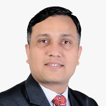
Parveen Sharma
CEO | The BIM Engineers
GEOBIM is an integrated approach that combines the spatial data of a GIS with the parametric modelling capabilities of BIM. This approach has proven to be very useful in the planning, design, construction, and management of transport infrastructure projects. By combining GIS data with BIM models, the project team can create a 3D model of the site that accurately represents the existing conditions, including the topography, vegetation, and utility infrastructure. The integration of GIS and BIM also allows for the creation of a shared data environment that can be accessed by all stakeholders, including engineers, architects, planners, contractors, and project owners which enables better decision-making, coordination, and reduces errors and omissions during the design and construction phases. GEOBIM is a powerful tool for transport infrastructure projects that can provide accurate site information, facilitate collaboration among stakeholders, and enhance the maintenance and management of the asset throughout its lifecycle.

Ananya Narain
VP - Commercial Consulting | Geospatial World | India

Raitis Busmanis
Head of VDC | Rail Baltica | Latvia

Vaidas Ulenskas
GIS Team Leader | Rail Baltica | Latvia

Niels Reyngoud
Program Manager, Implementation Asset Management and BIM | Department of Roads and Traffic, Province of Gelderland | The Netherlands

Wajdi Mereb
Senior Manager BIM | Miral | UAE
GeoBIM integration allows for a more complete understanding of the sub-surface environment, especially for the construction and engineering of tunnels, pipelines, and underground utilities. Its use can lead to safer, more efficient, and more sustainable construction projects, as well as better management of sub-surface infrastructure assets. As we continue to rely on sub-surface infrastructure for our daily needs, GeoBIM will become increasingly important in ensuring its reliability and safety.

Francois Robida
President | MINnD | France
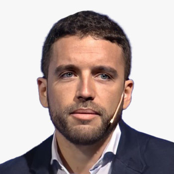
Agustin Roldan Hernandez
BIM Manager | TYPSA Group | Spain
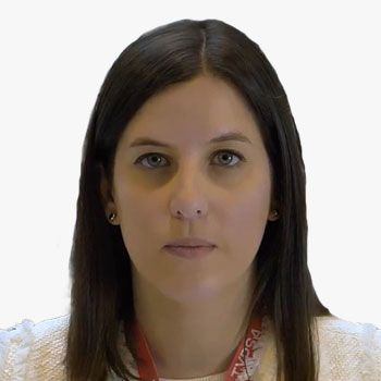
Paloma Sanchez Allegue
Building Engineer | TYPSA Group | Spain
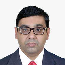
B.S.Mukund
Head - Building Information Modeling (BIM) | L&T Construction

Masashi Kojima
Innovation Lead, Asia Digital Lab | Obayashi Corporation | Singapore
Digital Cities: A Holistic Approach to Urban Transformation (Hall - Diamond II)

Francesca Elisa Leonelli
Earth Observation Green Transition Data Application Scientist | European Space Agency | Italy

Stefanie Lumnitz
DestinE EO Application Scientist | European Space Agency | Italy

Abdulaziz Faeyz Alfaeyz
Urban Planning and GIS Project Manager | Saudi Authority for Industrial Cities and Technology Zones (MODON) | Saudi Arabia
As our world becomes increasingly urbanized, the need for healthy cities is becoming more important than ever before. Building healthy cities is about creating urban environments that prioritize the health and wellbeing of their residents. It requires collaboration and commitment from city planners, architects, public health officials, community leaders, and residents themselves.

Akanksha Tyagi
Regional Director - EMEA | Geospatial World | UAE

Dan Culli
GIS Consultant | Locana/TEAM2100 | UK
Elnazir Ramadan
Associate Professor | Sultan Qaboos Universty | Oman

Ed Parsons
Geospatial Technologist | Google Inc. | UK

Chris Smeaton
Associate Principal - Digital Leader | InSite International | United Arab Emirates

Michael Marriott
Infrastructure Manager, Kingdom of Saudi Arabia | KEO Infrastructure
As we move towards a more digital and interconnected world, the importance of smart and resilient utility asset management cannot be overstated. In order to ensure that our utilities continue to function efficiently and reliably, we must be proactive in our approach to managing these assets. Drones are increasingly being used in asset management to gather data on infrastructure assets such as roads, bridges, and buildings. GIS is another technology that is widely used in asset management and is used to create detailed maps and 3D models of infrastructure assets, which can be used to identify potential risks and optimize maintenance schedules. Other remote sensing tools such as LiDAR and thermal imaging can also be used. These technologies can help organizations gather and analyse asset data more efficiently and effectively, which can improve asset performance, reduce maintenance costs, and enhance safety.

Alex Worp
Asset Information Manager | Waternet | The Netherlands

Kalaiselvan Baskaran
Functional Consultant - BIM | Tata Consultancy Services (TCS) | India

Rahma Al Balushi
GIS Specialist | Oman Electricity Transmission Company | Oman
Dr. Siva Ravada
Vice President of Development | Oracle | US

Rombout Verwimp
CEO | Geo Solutions | Belgium
Circular cities are those that prioritize waste reduction, resource efficiency, and the regeneration of natural systems, while also promoting economic and social well-being. Transformative action strategies for developing circular cities include initiatives such as circular economy models, green infrastructure, sustainable transportation, and urban planning that integrates principles of the circular economy.

Nuno Correia
Head of Sustainability | WilkinsonEyre | UK

Marino Cavallo
Head Innovation | Metropolitan City of Bologna | Italy
Sharad Ughade
Director (Information Technology) & Assistant Commissioner D ward | Brihanmumbai Municipal Corporation (BMC) | India

Dimitrios Mentis
Project Lead for Energy Access Explorer | World Resources Institute | Greece

Alexandru Morcov
Expert Coordinator | Congress of Local Authorities from Moldova (CALM) | Republic of Moldova